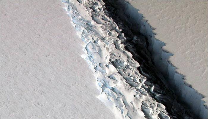
Satellite data shows Antarctic ice rift spreading
The new branch of the rift is 15 km long, researchers from Swansea University in the UK found. Last year, the rift was growing fast. Now, just 20km of ice is keeping the 5,000 square km piece from floating away.
May 03, 2017, 19:07 PM ISTCellphone, satellite data can map poverty: Scientists
The researchers from the University of Southampton and the Sweden-based Flowminder Foundation found that by combining mobile data and geospatial data from satellites, they were able to produce poverty predictions which are comparable with those made from traditional sources, but with significant advantages.
Feb 08, 2017, 16:22 PM ISTFirst ever global maps of human carbon dioxide emissions created using satellite data! (Pics inside)
Based on data from NASA's Orbiting Carbon Observatory-2 (OCO-2) satellite, scientists from the Finnish Meteorological Institute, Helsinki, produced three main maps.
Nov 02, 2016, 09:43 AM IST


