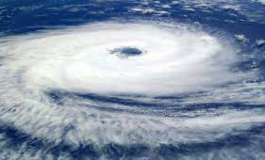
India is on the brink of an approaching cyclonic storm called Biparjoy. As of this morning, it was located approximately 890 kilometres west-southwest of Goa. Over the next 24 hours, it is projected to escalate into a highly severe cyclonic storm. In a tweet, the India Meteorological Department (IMD) said that the storm is expected to progress in a northward direction and intensify into a very severe cyclonic storm within the next 24 hours.
Severe Cyclonic storm Biparjoy over eastcentral and adjoining southeast Arabian Sea at 0830 IST of 07th June, near lat 12.7N and lon 66.2E, about 880km WSW of Goa. Likely to move nearly northwards and intensify into VSCS during next 12 hrs. pic.twitter.com/6rsdoPWQPu
— India Meteorological Department (@Indiametdept) June 7, 2023
What does the name ‘Biparjoy’ mean?
In 2020, the World Meteorological Organization (WMO) countries adopted the name 'Biparjoy', which signifies 'calamity' or 'disaster'. This name is given to all tropical cyclones that form in the North Indian Ocean, encompassing the Bay of Bengal and Arabian Sea. The naming of tropical cyclones follows regional regulations.
How are cyclones named?
The WMO explains that multiple cyclones can occur simultaneously, and therefore, tropical storms are given short and easily pronounceable names. This aids in effective communication during disasters.
In the Atlantic and Southern Hemispheres (Indian Ocean and South Pacific), tropical cyclones are named alphabetically, alternating between men's and women's names. In the Northern Indian Ocean, names are listed alphabetically based on countries and adhere to gender-neutral norms.
Regional rules govern the naming of tropical cyclones, with six specialized regional meteorological centres and four local tropical cyclone warning centres across the globe. The IMD is one of these regional centres responsible for issuing advisories and naming cyclonic storms. They select names from an alphabetical list specific to each country.
Where is Cyclone Biparjoy headed?
According to the IMD, Cyclone Biparjoy is projected to move northward and gradually intensify into a severe cyclonic storm. As stated in the IMD bulletin, "The cyclonic storm “Biparjoy” (pronounced as “Biporjoy”) intensified into a severe cyclonic storm and lay centered at 0000 UTC of 07 th June, 2023 over the same region near latitude 12.6°n and longitude 66.1 °e, about 890 km west-southwest of Goa (43192), 1000 km southwest of Mumbai (43057), 1070 km south-southwest of Porbandar (42830) and 1370 km south of Karachi (41780)."
What may be the likely impact of the cyclone?
Weather agencies anticipate rough sea conditions around Kerala-Karnataka and Lakshadweep-Maldives on June 6 and along the Konkan-Goa-Maharashtra coasts from June 8 to 10. Additionally, the IMD has advised fishermen to return to the shore.
Will monsoon be delayed?
A PTI report suggests that several factors, including the formation and intensity of a low-pressure system over the southeast Arabian Sea, will delay the onset of monsoon in Kerala. Skymet Weather predicts that the monsoon might arrive on June 8 or 9 but with a mild and weak impact.


